PRESS RELEASE: Flood Master Plan
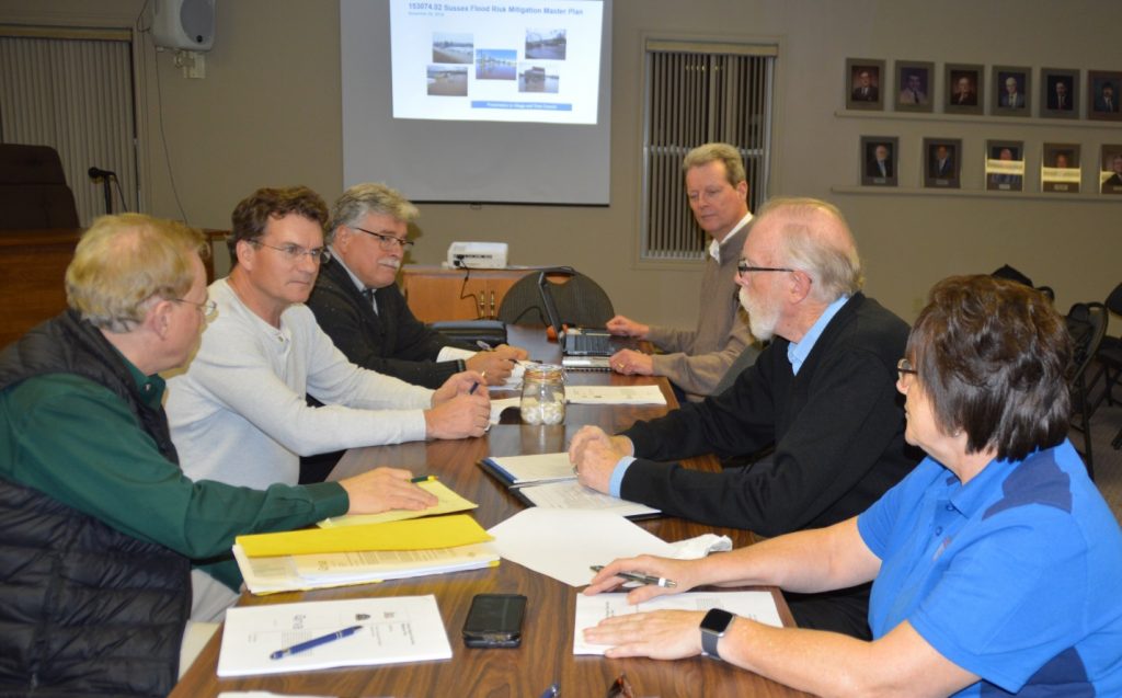
The Town of Sussex and the Village of Sussex Corner are working towards mitigating flooding in the two communities as outlined in a master plan developed by RV Anderson engineering consultants. From left to right, discussing the plan, are Sussex Deputy Mayor Tim Wilson, Sussex Mayor Marc Thorne, Sussex Chief Administrative Officer Scott Hatcher, RV Anderson’s associate director Hans Arisz, Sussex Corner Mayor Steven Stackhouse and Sussex Corner Deputy Mayor Patsy Shay. (Photo by the Town of Sussex)
SUSSEX – It’s time to change the channel in order to save properties from future flooding, both Sussex and Sussex Corner mayors agree.
It will take the creation of a diversion channel to return the flow of water to its prehistoric path to battle against the rising waters residents and businesses are increasingly faced with. That success will also rely on the execution of a handful of smaller projects spanning the two municipalities expected to take more than five years to complete.
In a community-wide mitigation plan released this week by RV Anderson engineering consultants, the major projects needed to ease the burden on property owners outlines real fixes that will come with big costs, said Sussex Chief Administrative Officer Scott Hatcher. “We have a perfect solution here that will absolutely work, but it will take a lot of people including our councils, residents and business owners and various government departments to make it happen,” he said. “Climate change is here, climate change is real, so we have no choice but to put the infrastructure in place with our two communities moving forward in the same direction to solve that problem.
“For most people, our home is our biggest, single investment. When you can’t live in it or you run the risk of it getting knocked off its foundation by water and ice, it’s unacceptable.” There is no tap to turn off, Hatcher pointed out, so a master plan that will address growing ground and surface water troubles is the only approach. “Until this infrastructure is in place, there will continue to be a certain amount of risk to property owners because we all know flooding is going to happen again,” he said. “We live on a river bed.”
The consultant was hired in January by the two municipalities to pen a joint plan fine tuning a remedy for flooding, which is the biggest challenge the councils and their taxpayers face. High on the radar is the proposed flood diversion channel located between Cougle Road in Sussex Corner and McLeod Drive in Sussex. The new channel would connect Trout Creek behind the Town’s walking trail near Bryant Drive, run parallel with Cougle Road and cross Leonard Drive and the Route 1 highway to discharge into the Kennebecasis River.
The idea of the diversion, said RV Anderson’s associate director Hans Arisz, is to reduce the depth of water before it travels through Sussex by way of Trout Creek and more readily drain the creek as it passes through the Village. “The channel would only take on water during flood conditions,” he explained. It would be engineered to sit higher than the existing route therefore it would only transfer the top slice of water when it becomes troublesome.
The massive collection of water trapped between Route 1 and Cougle Road during the region’s devastating 2014 flood led to the discovery of the ancient creek bed that had carried water just under the surface into the area but could not find a path across the four-lane highway. With extreme floods occurring every couple of years now, drastic measures are needed, Sussex Mayor Marc Thorne said. “Those measures have to include the elimination of elevated groundwater flooding in areas where berms alone won’t do the job,” he said. “That work will be best achieved when it is tackled in partnership with the Village because the water problem during floods travels between the two communities.”
Sussex Corner Mayor Steven Stackhouse agrees and was happy to join with Sussex earlier this spring to create a technical committee comprised of the mayors, deputy mayors and senior staff. “The Village of Sussex Corner is excited to be able to share in the knowledge and expertise of the Town of Sussex, its mayor and staff,” he said. “I have a great deal of respect for them and a great deal of hope that solutions can be found for residents on both sides of our municipal boundaries.
“Look at the years people have had their basements flooded with water — it’s a traumatic experience,” he added. “It is absolutely up to us as a council to take part and do what we can to move forward and make it better for the people who live and work here. Council has a responsibility to do that – we were elected to represent our people and serve for their best interests. “We will move forward in this process in hopes that at the end of the day we have a solution to mitigate the damages of flooding and to bring some relief to the people impacted in our flood zones.”
The different parts of the master plan are designed to address flooding in both communities and are intended to work together, Thorne said. He added he is fully aware some residents are worried they may be left behind with the construction of the berm at the Gateway Mall at the west end of Sussex but that is not the case.
“Even at a fast pace it’s going to take a number of years to achieve success with a diversion channel given the high amount of properties involved and permitting that must be approved,” he said. “With the recently completed Gateway berm we had the property, we had the permits, and we had the offer of co-sharing the cost from the federal government so we had to go.” Hatcher said higher levels of government will be needed to support the two municipalities in the ambitious projects proposed. There is a long approval process, he pointed out, with conversations already under way with departments of Environment, Fisheries and Oceans, Transportation and Infrastructure, Canadian National Railway and Gateway Operations which is responsible for activity along Route 1.
An extensive community engagement process will unfold, he said, to allow residents and business owners to get their questions answered. A task force with stakeholders will also be struck.
“Our focus is to gain some buy-in from residents to begin the process to seek funding and necessary approvals so we can get started on the fixes,” Hatcher said. Using aerial technology and Lidar equipment, a high-resolution terrain model of the two communities was created to gain a greater understanding of how and why flooding in different areas occurs and what can be done to eliminate it.
Re-creating a channel along the former creek bed is the most costly of the proposed fixes, Hatcher pointed out, with a price tag of over $15 million. The engineered channel with its rocky stream bed would look dry most of the time, Arisz pointed out, but when water levels rise the channel would be able to divert about 90,000 litres per second, which is equivalent to around 180,000 garden hoses running at the same time. He said while the berms would directly impact surface water, which tends to be the bigger problem in flash flooding or in a short period of time, the diversion channels would mean prolonged, persistent rains that last two, three and four days would not as commonly overflow the current system, sit and saturate the ground and eventually fill basements.
In all, six projects are being proposed in the more than $24 million master plan. The $1.5-million Gateway Mall berm has been tackled, leaving a suggested channel reconstruction between Leonard Drive and Maple Avenue with a berm, the new flood flow diversion channel at the Town’s east limits, another diversion channel on Parsons Brook in the Village, as well as stormwater infrastructure upgrades to both the north west in the area of the Skyline subdivision in Sussex Corner, and north east in the Village in the Meredith Drive subdivision area and Waycon Heights which is currently underway.
The second project proposed in the report exclusively within the Village limits, which is a diversion channel on Parsons Brook, would be located between Dutch Valley Road and Trout Creek, adjacent to Sussex Corner Elementary School. The connection to the channel would be located upstream of New Line Road, and water flow in flooding situations would cross Dutch Valley Road through a new culvert and continue in the direction of an existing access road until it reaches Trout Creek. That proposed flood remedy to divert water from Parsons Brook to Trout Creek is expected to cost in the area of $1.7 million.
The two proposed diversion channels would be joint projects of Sussex and Sussex Corner, the Gateway Mall and downTown berms would be entirely within the Town’s parameters, and the two infrastructure upgrade projects would fall entirely inside Village limits. Arisz said some projects are contingent on the others. For example, he said the berm in the centre of the Town may not be necessary if the east Town limit channel is constructed and the east Town limit channel must be built before the Parsons Brook diversion channel.