Flood Mitigation Update: LiDAR Imagery Surveying underway

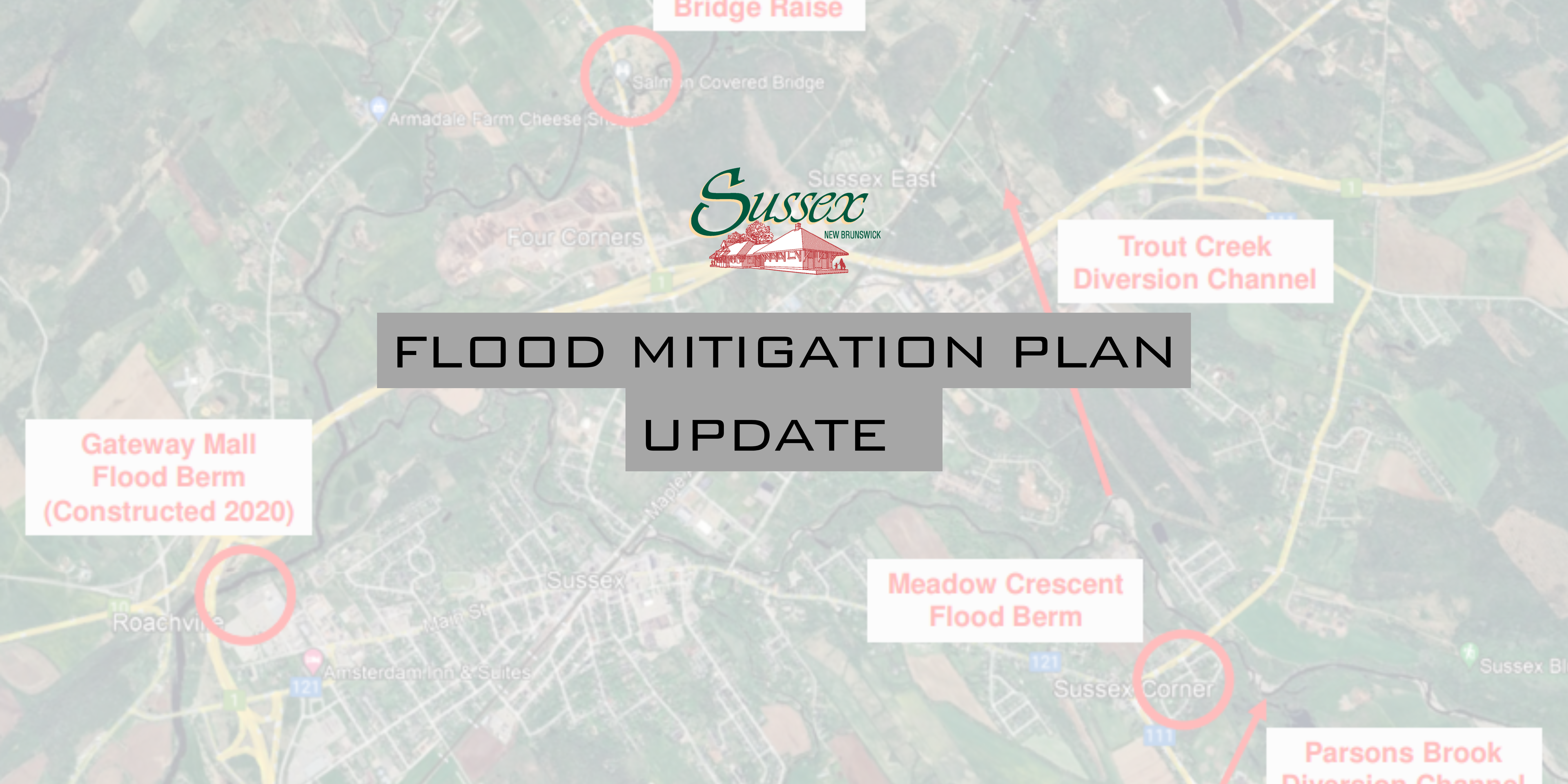
Areas of Sussex are set to witness the latest advancement in the Flood Mitigation berm construction project as the Town’s engineering consultants commence drone operations to capture a digital terrain survey model of the Meadow Crescent Berm construction area.
Starting November 19, 2024, certified drone operators will utilize Unmanned Aerial Vehicles (UAVs) to conduct these operations over a period of up to two weeks, as weather allows.These drone flights will be carefully executed within designated project areas.
This initiative aims to create a detailed digital terrain model that will aid in the effective planning and execution of the berm construction. This innovative approach marks an exciting step forward in the Flood Mitigation Plan.
Residents can expect to see drones in the air as they capture high-resolution images and data critical for the project’s success. The use of UAV technology not only streamlines the surveying process but also enhances safety and efficiency, allowing for comprehensive coverage of the construction area without the need for extensive ground inspections.
Sussex encourages it’s residents to stay engaged with the ongoing developments of this exciting project.
Check out October’s Flood Mitigation Plan Update regarding core sampling: https://sussex.ca/core-sampling-underway-sussexs-flood-mitigation-project-advances/
For more information on the Flood Mitigation Master Plan: https://sussex.ca/flood-mitigation-master-plan-funding-announced/

